|
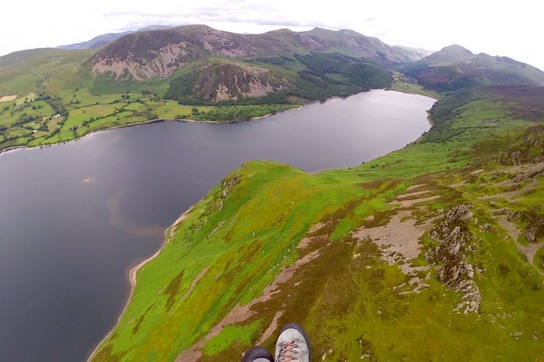
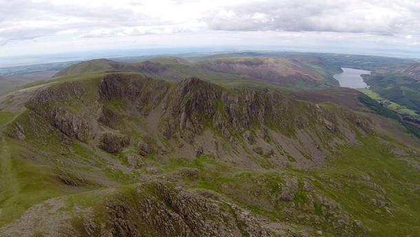
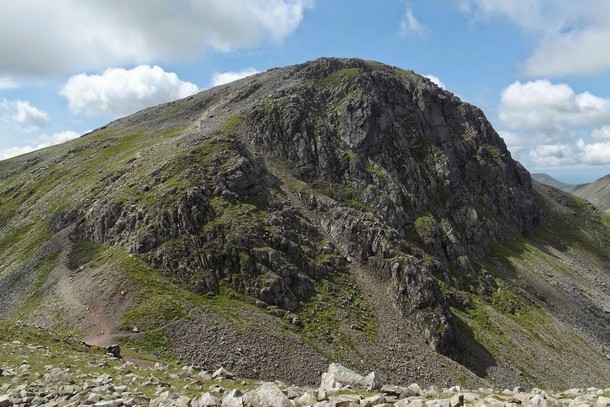
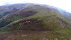
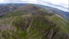
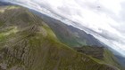
About this article At the time of writing Rick Livingstone was already an experienced intermediate pilot and had made many mountain XCs before this one. This is a forum post Rick made on 4th June 2012. The pictures aren't Rick's but show parts of Ennerdale where some of the flight took place. Flight on the XC League l Flight Doarama
Yeah - bit epic yesterday. My brain hasn't fully recovered yet..... Too much east in the wind to make Red Pike and the Buttermere Fells easily, so I went over the back again above the east end of Ennerdale Water and connected with the south side ridge near Iron Crag. Then turned West to bag Crag Fell (Wainwright bagging has added a whole new dimension to my XCs!). I nearly decided to land down near Ennerdale Bridge as landings/walk outs from high up the Ennerdale valley are not my favourite occupation. But a nice thermal right over the top tempted me to go back east.
I suppose I was bombing cos the thermal was pulling in everything from all round and had snuffed out the soaring breeze?? Couldn't believe it, 6600ft when I chickened out and big eared north!! Right over Pillar but well over twice it's height, so high I'd no idea if I was in the 200M radius to bag the summit and too jittery to press the right buttons to find the waypoints map on the GPS!
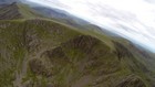
Arrived about level with the summit but no wind (4mph on my trusty 5020) and sinky. I was beating down the north face next to loads of climbers!! The bail out plan was now Moses Trod or as far over toward Drum Hause and Honister as I could get. But a gust and another scrappy thermal took me over Gable summit. Unfortunately it evaporated (or more likely I lost it) and I took another rustling nylon episode only 200ft above the summit plateau - scary - and now I couldn't get back to the windward side due to too much wind... So I had to turn & run without enough height and on a quick decision! In sink again and terrified of being rotored I flew as fast as I could, towards Great End with, thankfully, no more probs - apart from lack of height and, by now, brain seizure! So I flew down and landed in the nice big fields at Seathwaite. A nice German chap gave me a lift to Keswick where my retrieve collected me after a refreshing cuppa at S&W. |
|
|---|---|---|