NW |
Burlington |
| Status : | OK | ||
| IMPORTANT - Restrictions on use | Do not block the quarry entrance. No dogs allowed on the site. | ||
| Last Updated : | 21/12/2021 at 16:09 by Ian Henderson | ||
| Wind : | NW | ||
| Nil Wind : | No | ||
| Grid Ref : | SD251844 | Height (AMSL) : | 750' / 229m |
| Site Code : | 17.059 | Top to Bottom : | 300' / 92m |
Location
S Lakes - NE of Ulverston
Details
Little more than slate-spoil heaps atop gently rising ground. This site can be inter-flown with Burney when the wind is WNW to NW. A good thermal site with easy access and much bigger than it looks. On hg's it can be linked with the moors running down to Ireleth or the main Rebecca site.
Local Sites Contact - John Westall 07884 037144
Site Officer
Jacob Aubrey : 07505 265668
Postcode for Sat Nav Systems (read the Health Warning!)
LA17 7UN - This is the closest mail delivery point to the flying site and is positioned at:
Burlington Slate Quarry Offices
Getting There
From the A5092(T) turn left (if approaching from the east) along a minor tarred road that leads to Burlington Slate Quarry. Park just outside the quarry entrance gate.
Getting to takeoff
From the quarry gate walk straight up and right to the little knoll above the offices.
Permission to use site
Holker Estates, Burlington Slate Ltd.
Additional Safety Notes
Be aware of the wind turbines behind the ridge/quarry at Burlington. The take off is almost over the top of the Managing Director's Office and he would not appreciate you dropping in through their glass roof. You are very visible when flying this site! Public telephone at Grizebeck (800m west) and at Gawthwaite (400m east). Adjacent to the busy A5092(T). Power lines cross the fields below the Burney site. Care scratching, the spoil heaps are hard! The normal bottom landing field is shared with the Burney site. A height of 150'/ 46m ato is needed to reach the common landing area. Emergency bottom landing field: High Ghyll Farm.
Paragliding
This site is excellent for paragliders with easy take off and more extensive soaring than Burney. You can top land or land at Burney landing. Also some fields in front of road but these slope down the hill
Hang Gliding
Care with the take-off as it can be quite radical in light or fresh winds.
XC potential
Fair but depends on the wind direction as you need to get around the area of Morecambe Bay and escape any sea breeze. Flights to Greenodd and Broughton have been made
Photos
Click on the photo for a full size image.
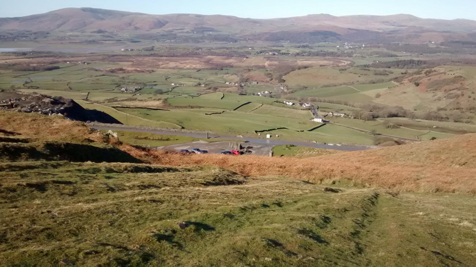
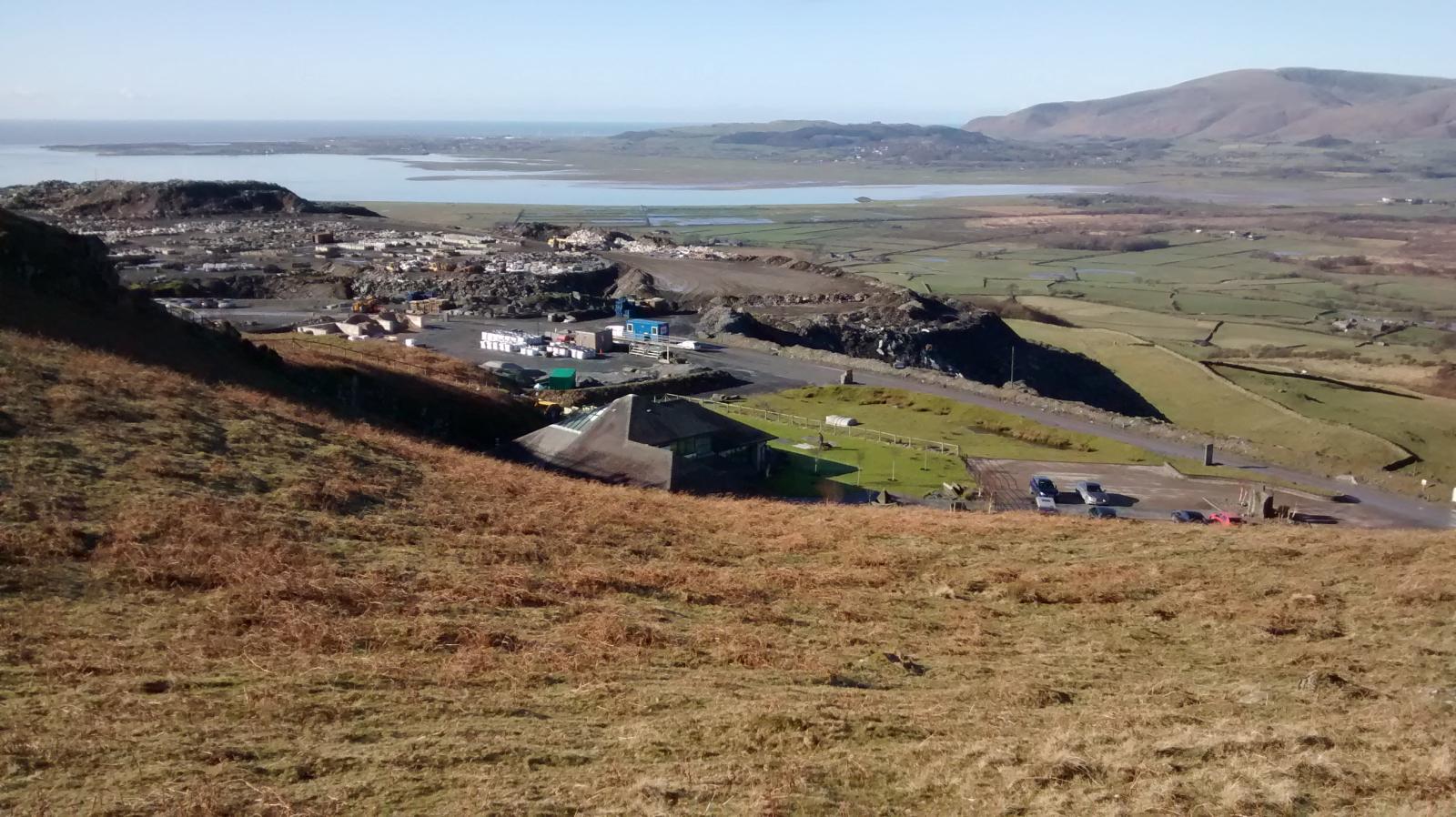
| A view from take off. The Burlington quarry slate tips are on the left. The Duddon estuary is below with Black Combe in the background. Photo by Mike Mason. |
 |
| Take off at Burlington. The car park below is for quarry workers and is not for us. Photo by Mike Mason. |
 |
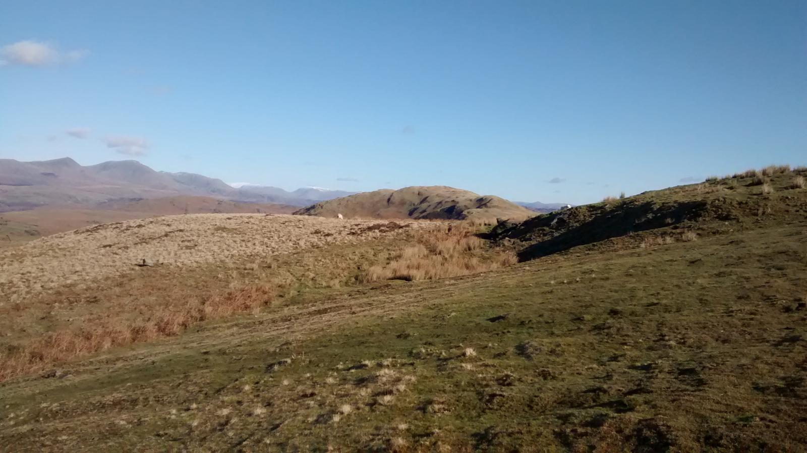
| Looking to the right at take off with Burney Fell in the middle. Photo by Mike Mason. Mike says that the trip to Burney is a good challenge out and return! Dow Crag and Coniston are in the left background |
 |
| Looking to the left at take off with the slate quarry dominating the picture. Photo by Mike Mason |
 |
Local Information - Pubs/Food etc
Nearest pubs to the site - for post flying debriefing only! You may find details of other facilities here
| Greyhound Inn Grizbeck | |
| Grid Reference : | SD135854 |
| Distance from Site : | 0.0 miles |
| Notes : | Good food and beer |
| Click here to go to the web site | |
| Click here to see the place in Google Street View |
This page shows records for this site. Some of the older records are not very detailed. More recent records may have an igc file available You can right click and download this to your PC. You can then use IGC Flight replay to view the flight.
| Paragliding |
No paragliding records available for this site
| Hang Gliding |
No hang gliding records available for this site
Data Resources
Follow the links to see the site in Google Earth and Google Street view. To access the former, you will need to have Google Earth installed on your PC. You can also upload your flights to GE - use GPS Dump (Links Page) to convert a variety of GPS file formats to a GE kml file.
| Link | Resource Type | Notes |
|---|---|---|
| Google Earth - Car Park | ||
| Google Street View - Parking | The quarry gate. Park on the left - don't forget that large lorries go past so give them plenty of room |
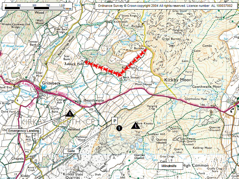
Burlington Map |
Legend |