SE - ESE |
Whitbarrow Scar |
| Status : | OK | ||
| IMPORTANT - Restrictions on use | The site is closed April May June due to nesting peregrines. Please ask at Ravens Lodge Farm for a landing field. Thanks for your support |
||
| Last Updated : | 30/06/2025 at 21:24 by Jacob Aubrey | ||
| Last Reviewed : | 31/03/2021 by | ||
| Wind : | SE - ESE / SW - WSW | ||
| Nil Wind : | No | ||
| Grid Ref : | SD455850 | Height (AMSL) : | 590' / 180m |
| Site Code : | 17.081 | Top to Bottom : | 500' / 153m |
Location
SE Lakes - nr Levens (A590)
Details
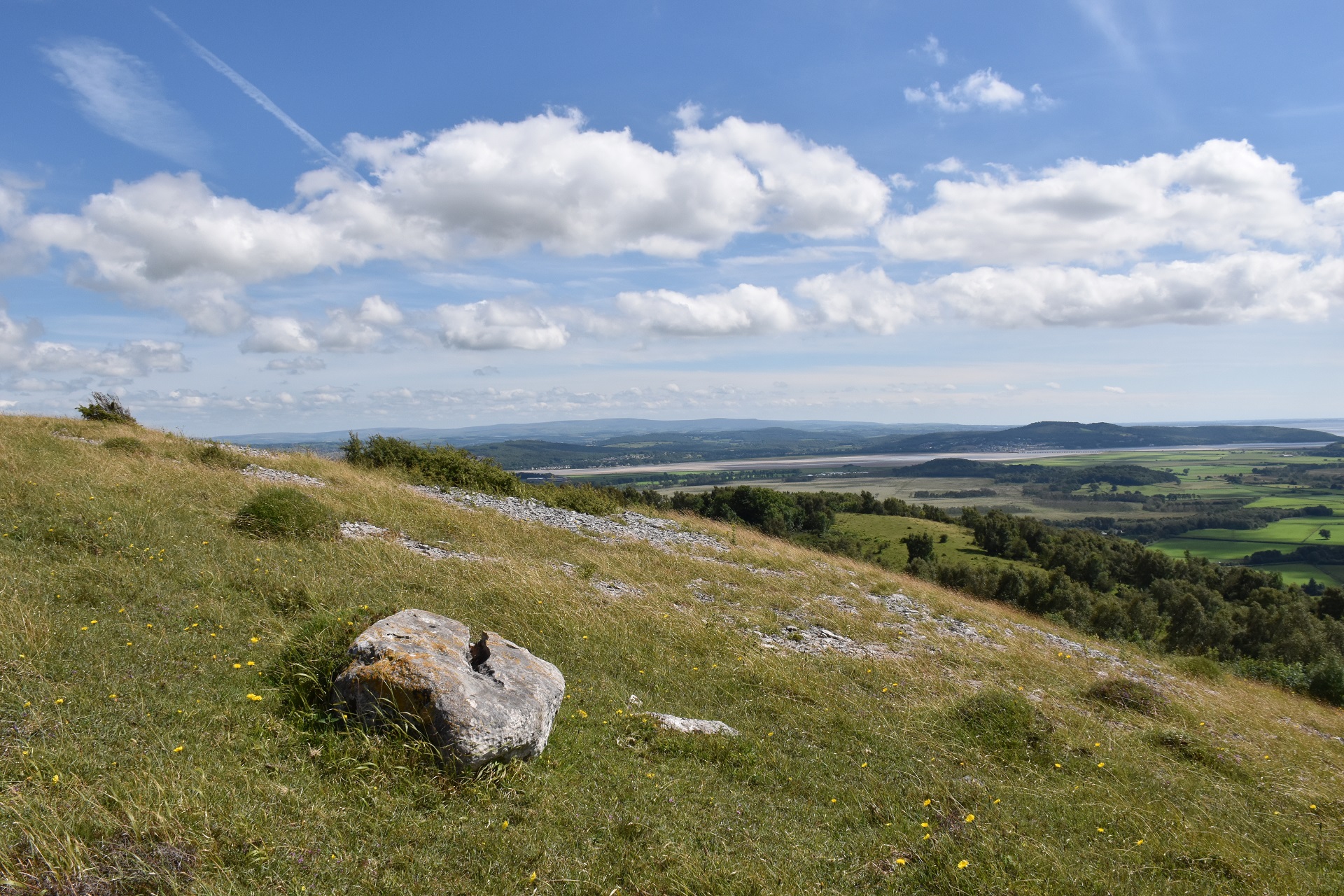
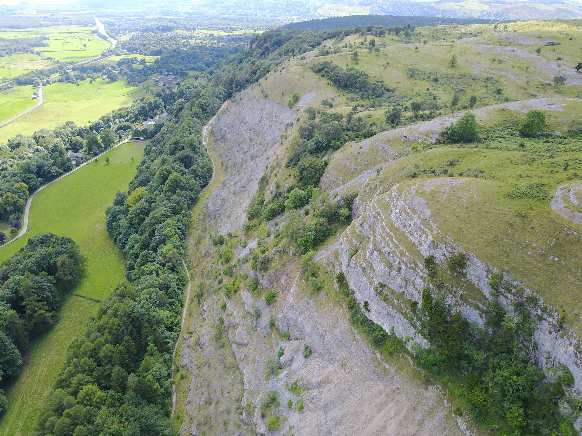
An excellent site, very spectacular but not often flown. Best flown in light to moderate winds and should be avoided in stronger winds due to rotor at the top and base of the cliffs. The adjacent SW face has been flown and is reportedly very good but little is known about it other than winds should be on the light side, otherwise it gets rough.
Site Officer
:
Postcode for Sat Nav Systems (read the Health Warning!)
LA8 8EU - This is the closest mail delivery point to the flying site and is positioned at:
Ravens Lodge at the easterly car parking area
Getting There
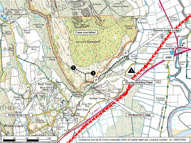
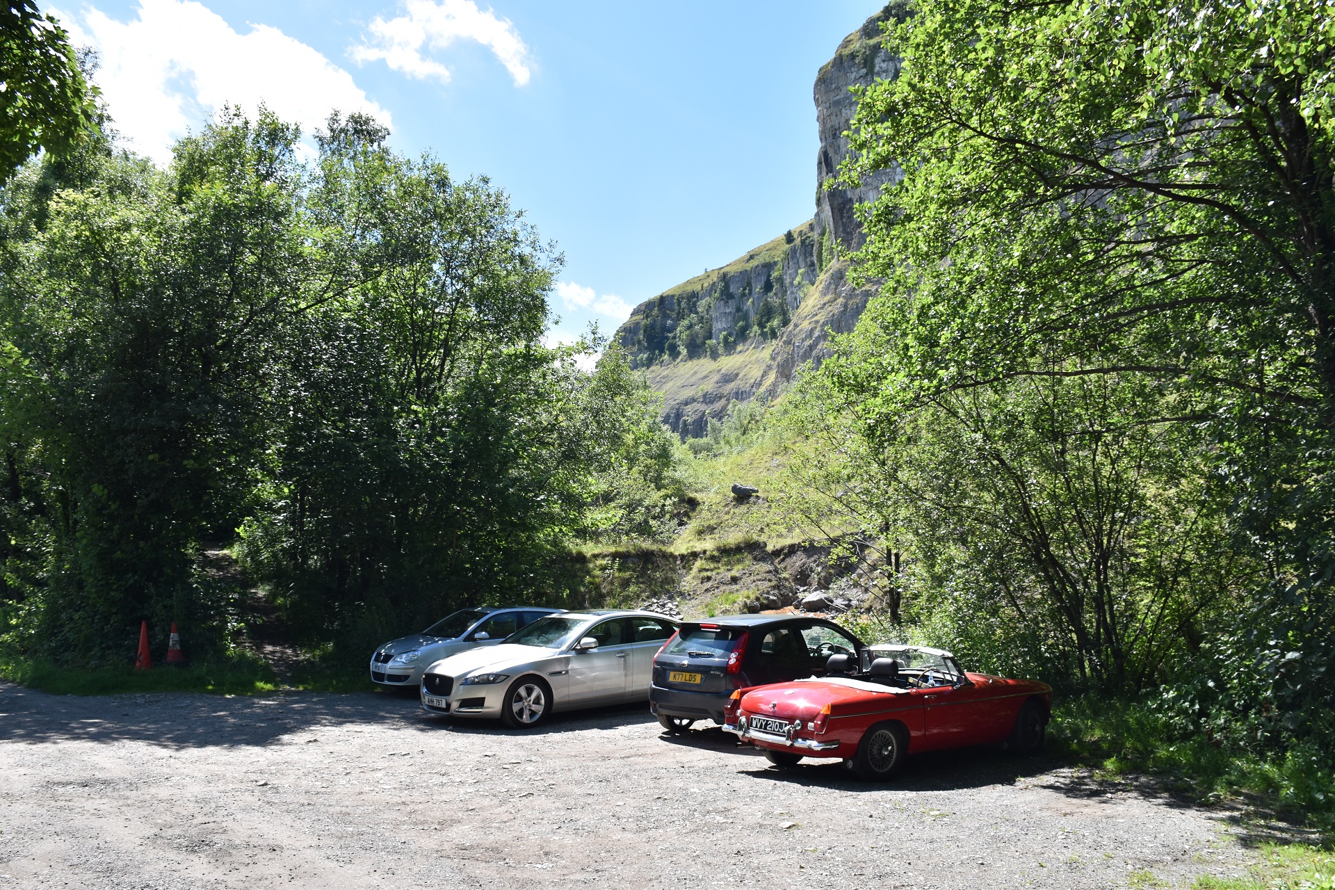
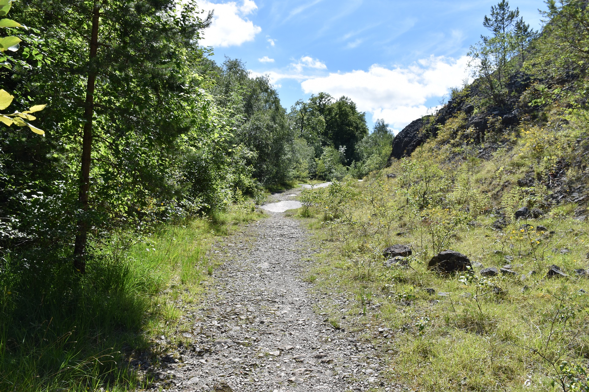
From the A590T near Gilpin Bridge take a minor road that leads towards the cliffs. A second minor road turns off to Ravens Lodge farm. Park just beyond farm in a small earth layby if walking in. HG pilots can drive through a gate into the quarry (ask at farm for permission and a key). A track leads to the south end of the quarry. Awkward track up through the trees.
Getting to takeoff
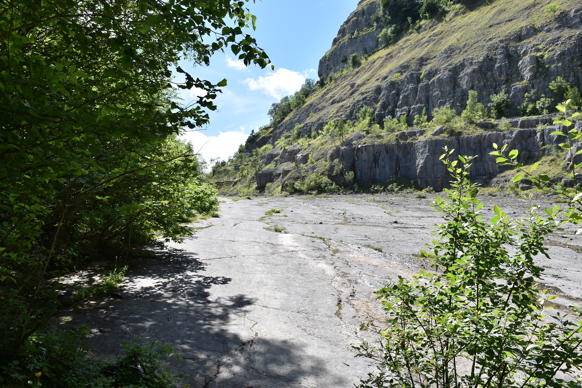
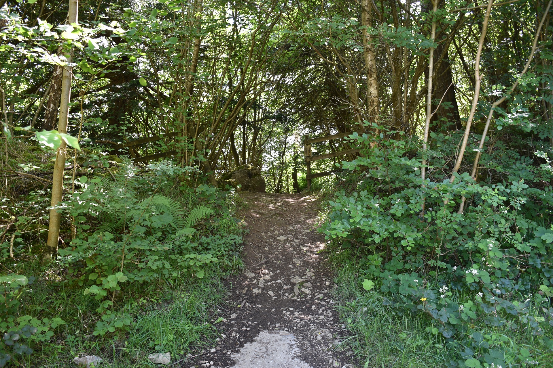
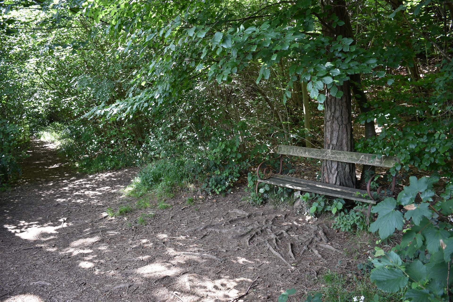
If parking just beyond the farm, walk through the gate and follow the track via a bedding plane to the extreme south end of the face. A vague path winds up through the trees to the T.O. edge. Various take off places exist.
Permission to use site
Ravens Lodge Farm; access and bottom landing field. Whitbarrow Lodge; for site access. Kirket Nook; for SW face landing field. The gate is sometimes locked - see the farmer for advice.
Additional Safety Notes
Power lines in bottom landing areas. Rotor below cliff top and back from T.O. edge. Telephone at Millside. Take care on launch.
Paragliding
A superb cliff site with a very impressive SE face. Good in light winds bit beware of strong compression in moderate winds. The take off is at a cliff edge! Don't scratch below the top due to the presence of rotor. Small trees and hidden gullies abound on the top so care when top landing; check out any top landing areas before flying.
Hang Gliding
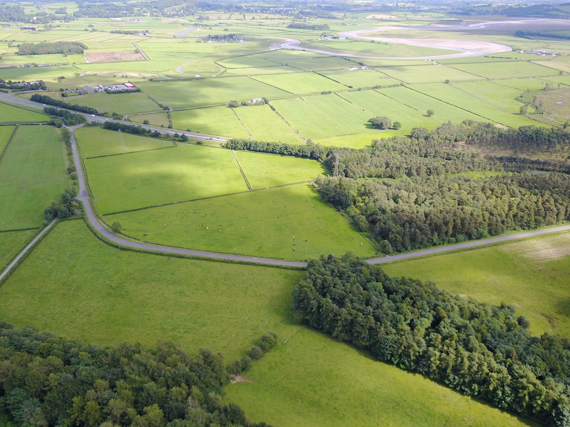
The main face has no top landing. See PG notes above for additional information. The bottom landing is easy but check the locations of the power lines.
XC potential
Good leading into the heart of the South Lakes - Coniston Old Man beckons.
Videos
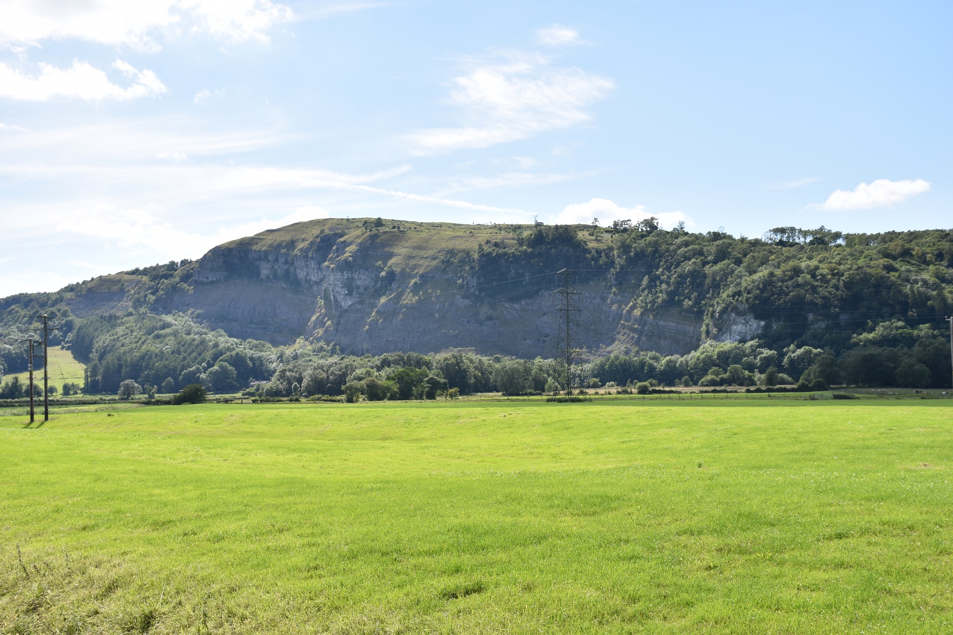
This video is a flight on the SE face of Whitbarrow starting from the south end and flying NE. The video finishes with a view of the landing field. Look out for the pylons.
Photos
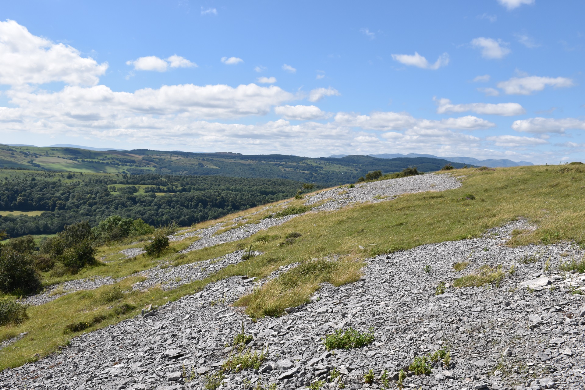
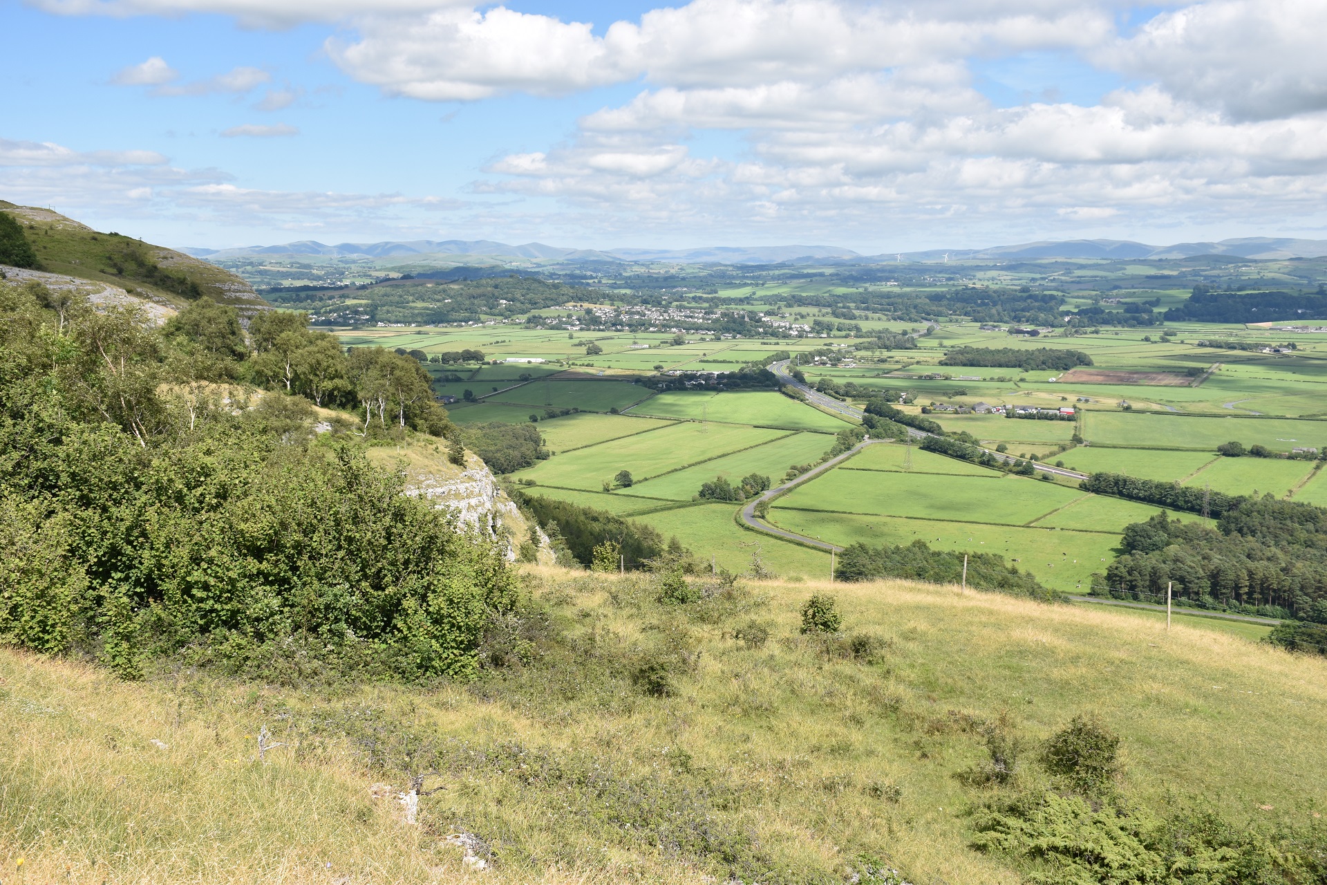
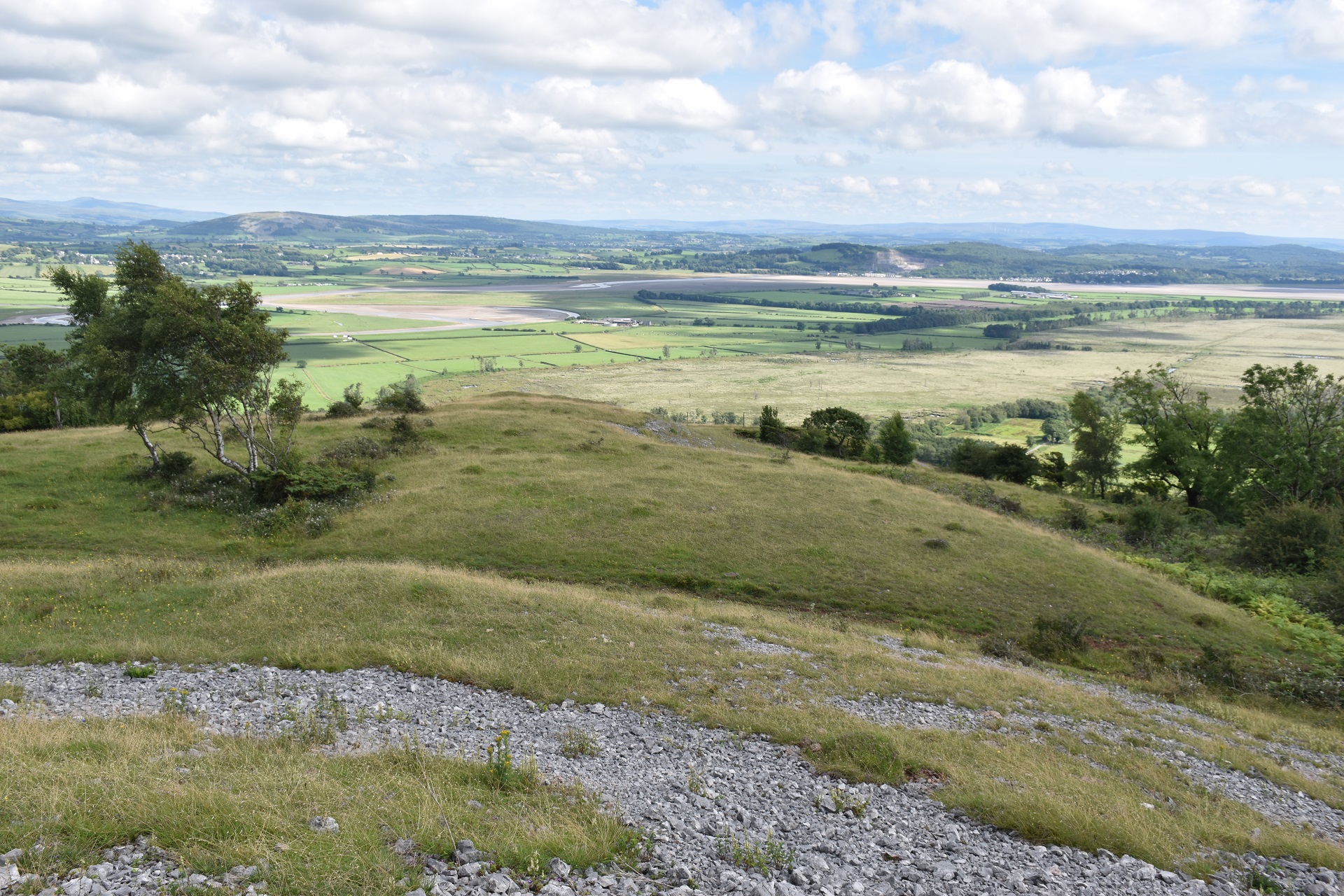
Click on the photo for a full size image.
Local Information - Pubs/Food etc
Nearest pubs to the site - for post flying debriefing only! You may find details of other facilities here
No pub details are available for this site. Send your recommendations to the webmaster.
This page shows records for this site. Some of the older records are not very detailed. More recent records may have an igc file available You can right click and download this to your PC. You can then use IGC Flight replay to view the flight.
| Paragliding |
No paragliding records available for this site
| Hang Gliding |
No hang gliding records available for this site
Data Resources
Follow the links to see the site in Google Earth and Google Street view. To access the former, you will need to have Google Earth installed on your PC. You can also upload your flights to GE - use GPS Dump (Links Page) to convert a variety of GPS file formats to a GE kml file.
| Link | Resource Type | Notes |
|---|---|---|
| Google Earth - Car Park | ||
| Google Street View - Parking | A good view of the east side of Whitbarrow Scar. The track on the right leads to Ravens Lodge |
Whitbarrow Scar Map |
Legend |
